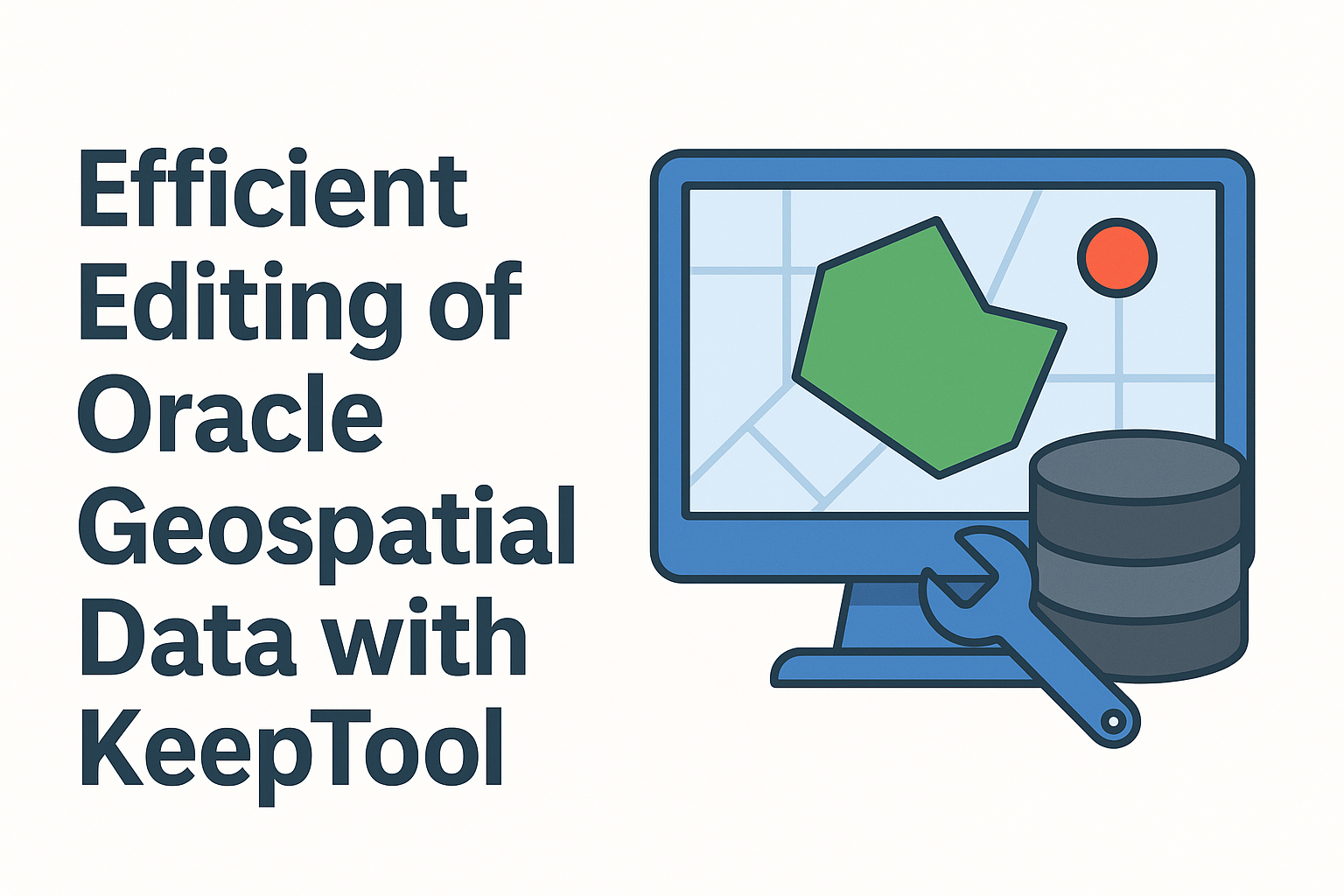
Oracle Spatial Features Supported by KeepTool
30 Jun 2015
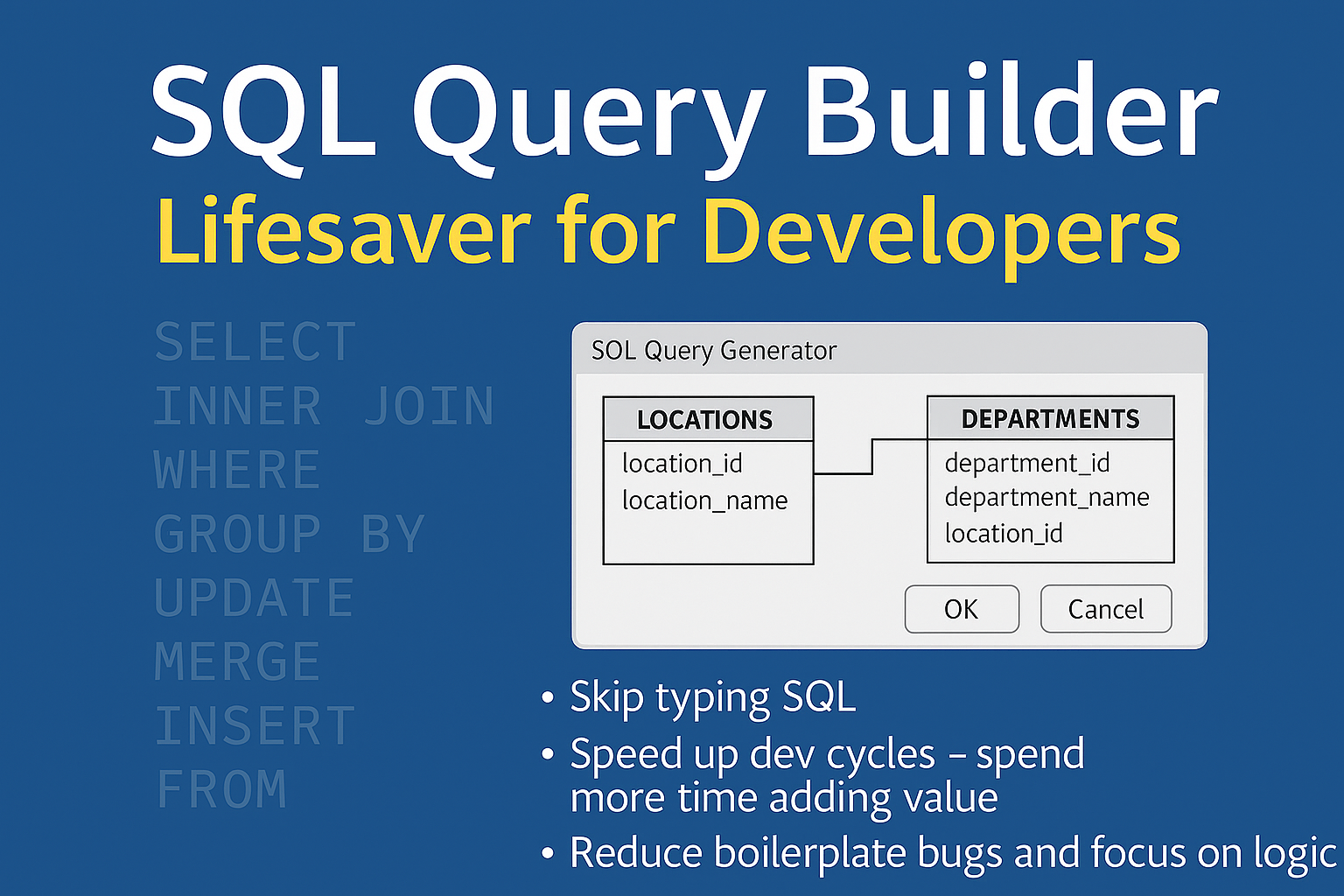
KeepTool makes working with Oracle Spatial data simple and efficient.
Learn how to display and analyze spatial columns, import sample data, and export geometries to KML for visualization in Google Earth.
The integrated tools in Hora help you view metadata, manage spatial indexes, and transform coordinate systems — everything you need to handle Oracle Spatial data in one place.