Discover the Smarter Side of KeepTool
01 Mar 2016
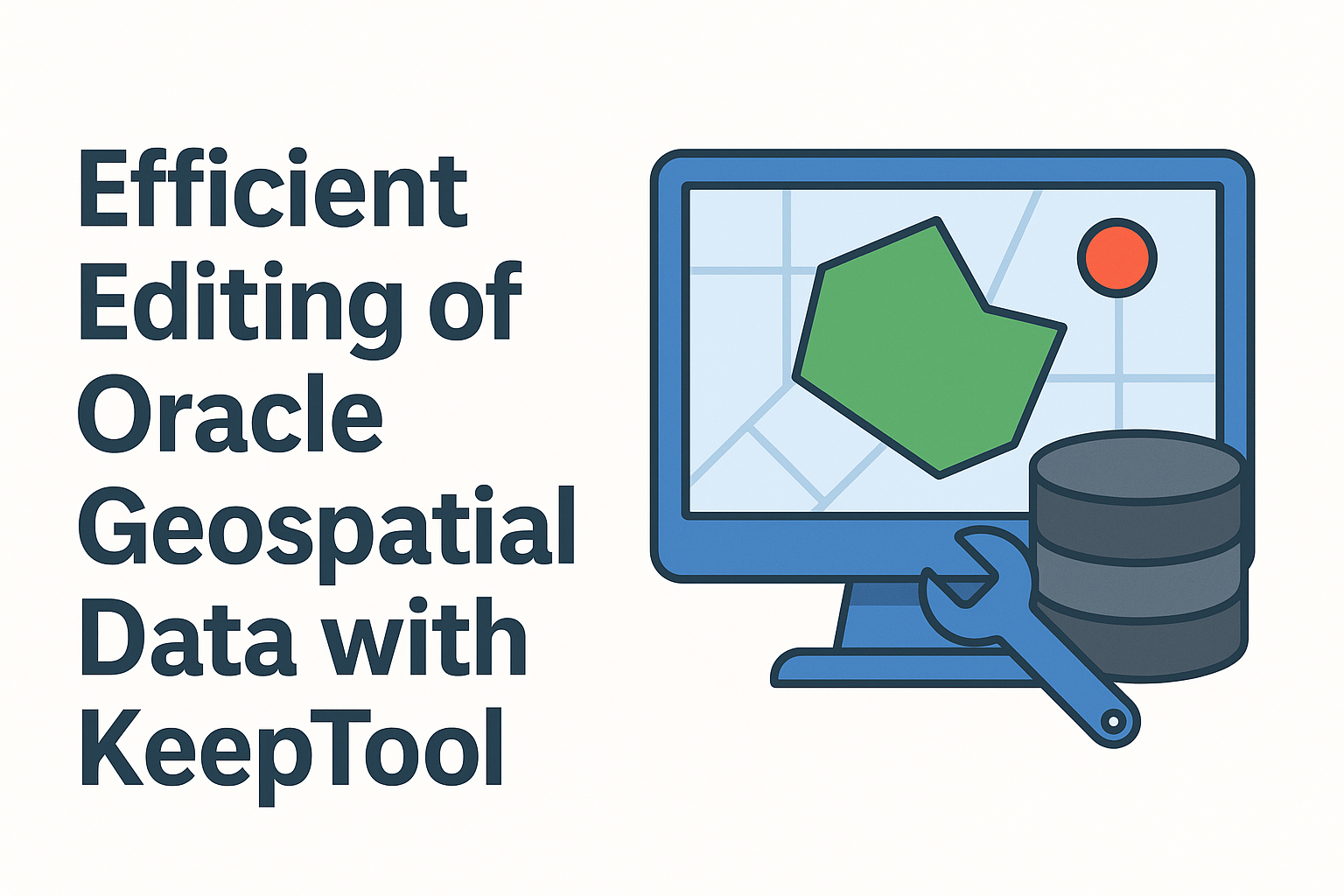
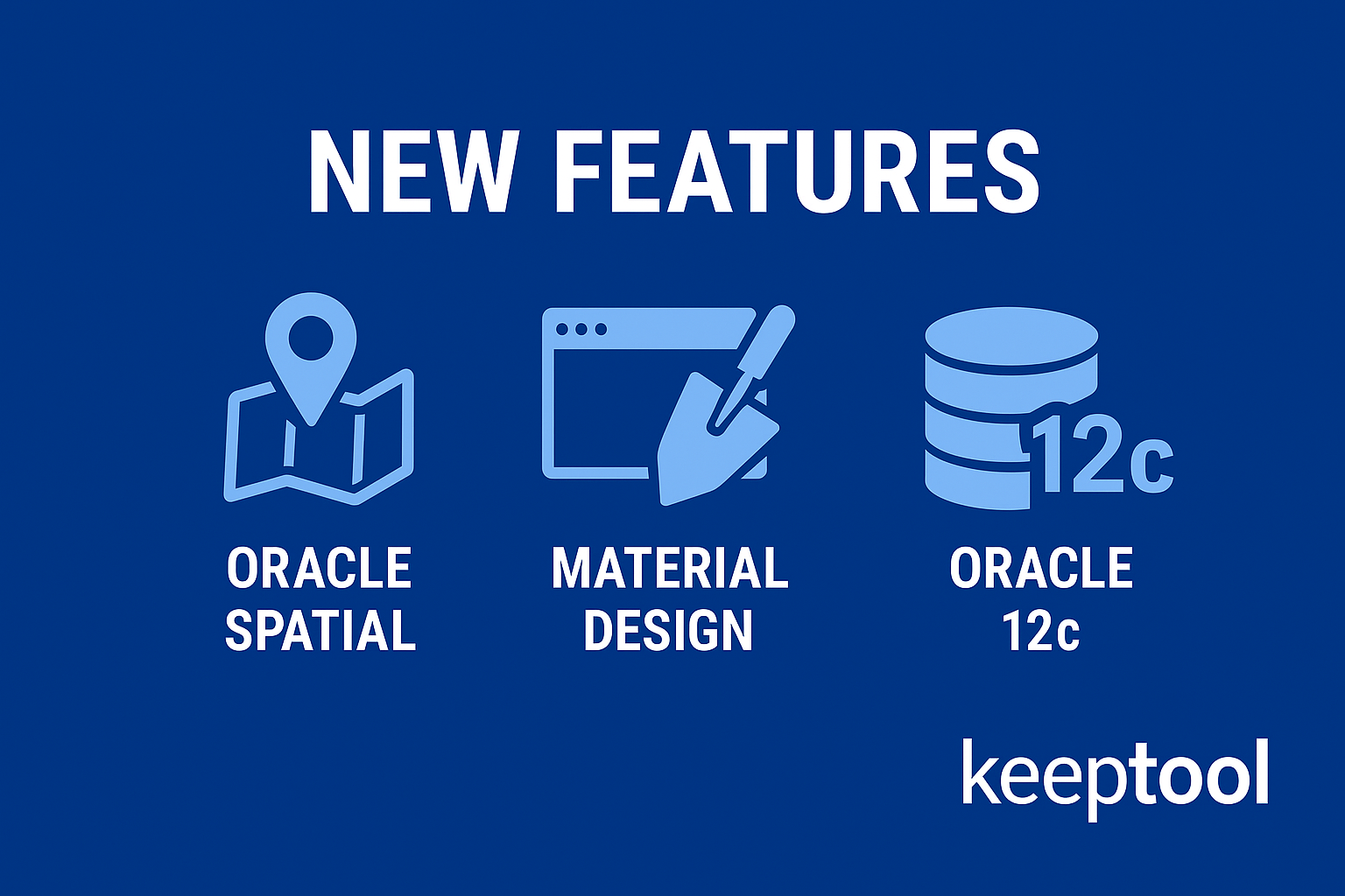
KeepTool introduces a wide range of new features, including enhanced Oracle 12c support, Oracle Spatial integration, and a sleek Material Design interface.
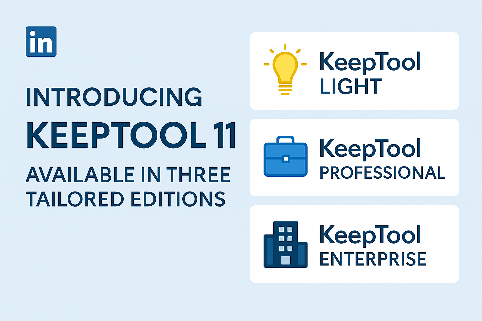
The simplified licensing process and the new Free Edition with Hora Free make it easier than ever to get started.
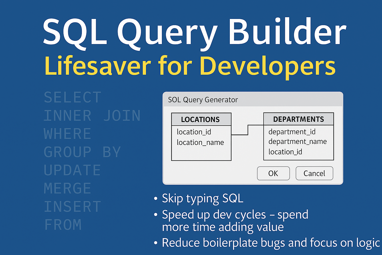
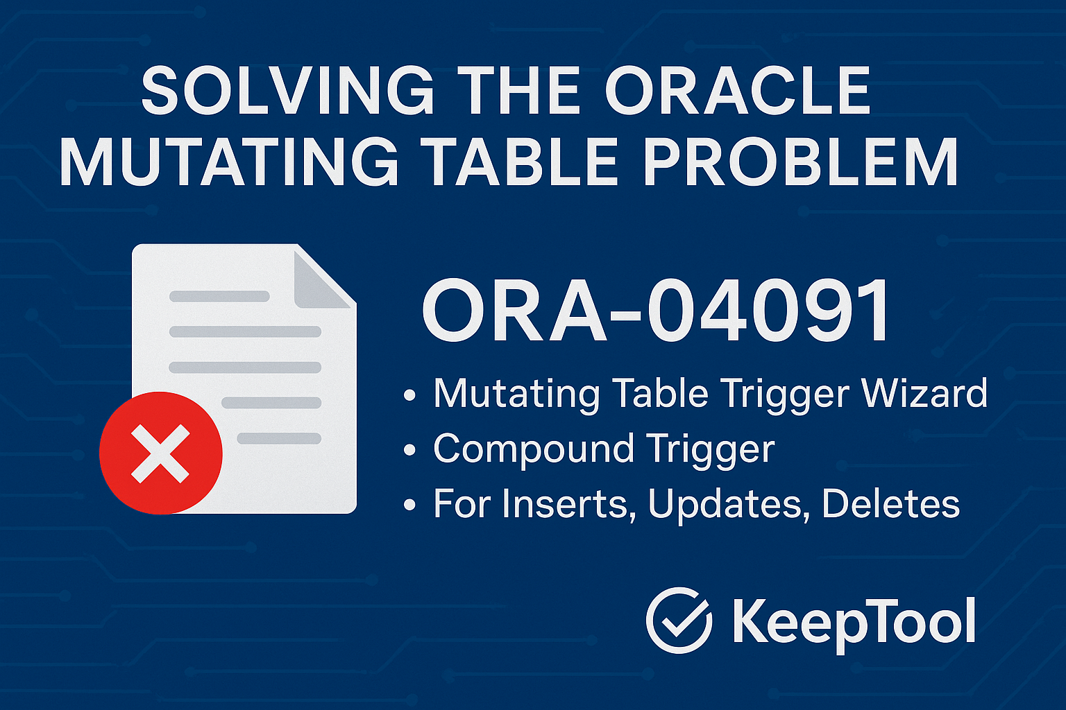
With smarter editors, improved session monitoring, and cross-platform compatibility, this release continues KeepTool’s tradition of delivering powerful yet intuitive database tools for Oracle developers and administrators.